Enterprise Geospatial Processing
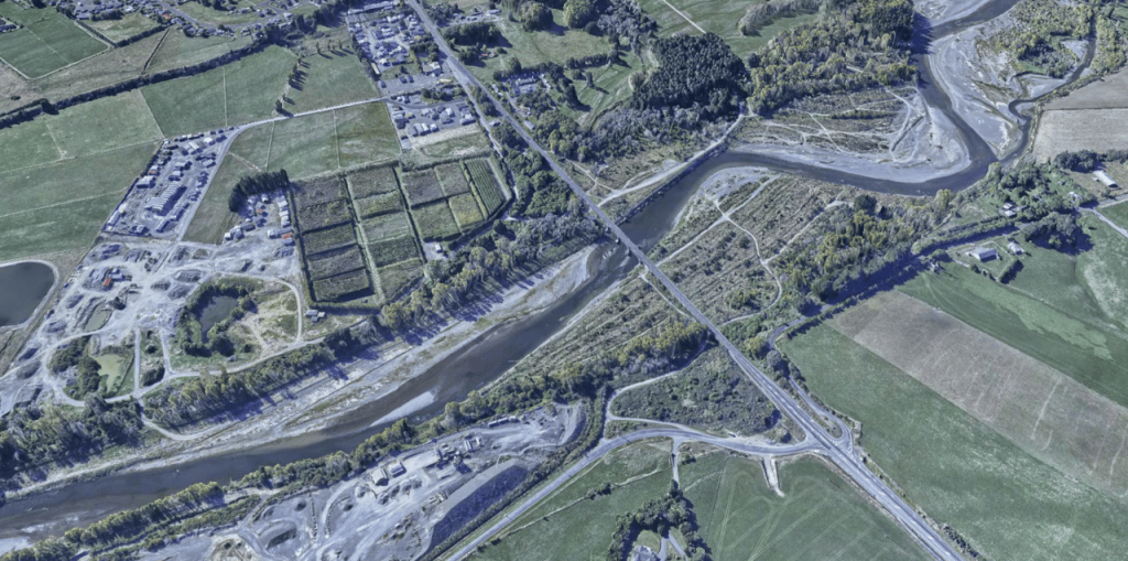
AeroSpatial delivers enterprise-scale geospatial processing for large-area aerial imagery and LiDAR datasets, transforming high-volume spatial data into accurate, production-ready information.

Our processing capability encompasses photogrammetry, point-cloud generation and processing, AI-assisted classification, volumetric analysis and GIS-ready data products. Advanced AI and automated processing techniques are integrated into our workflows to accelerate classification and extraction while maintaining the quality and consistency required for professional geospatial applications.

Our enterprise processing infrastructure, specialised workflows and extensive production experience enable AeroSpatial to efficiently process datasets at scales that can be challenging for conventional desktop-based workflows.
AeroSpatial has also developed an optimised 3D Spatial Bookmark workflow for ArcGIS Pro, providing a unique capability for the enterprise production, visualisation and management of large-scale 3D geospatial outputs.