Part 102 Certified


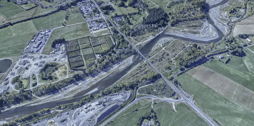
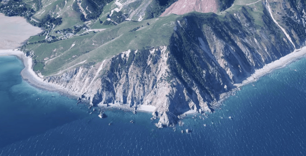
AeroSpatial’s UAV operations combine high-resolution imaging with enterprise-grade field capability. Our platforms are equipped with Phase One P3 100-megapixel cameras, delivering exceptional image resolution for photogrammetry, orthophotography and 3D mapping applications.
Our fully self-sufficient mobile ground control facility enables extended operations in remote locations, providing the infrastructure required for large-area and complex aerial mapping projects.
LiDAR acquisition is also available, extending our capability to high-density 3D point-cloud capture, terrain modelling, vegetation analysis and infrastructure mapping.
Current Available Sensors:
- P3 Phase One
- L2 Lidar
- H30t and H20t
- Ultra Violet Corona discharge